Planning and Zoning
The City of Hickman Planning and Zoning Department is responsible for reviewing all development applications for areas within the City and its one-mile extra-territorial jurisdiction (ETJ). This includes applications for changes of zone, subdivisions, special use permits, conditional use permits, corridor overlay reviews, sign permits, floodplain management, changes to either the Zoning Regulations or Subdivision Regulations and much more.
|
Quick Links:
Planning Commission
Comprehensive Plan
Strategic Plan
Master Trail Plan
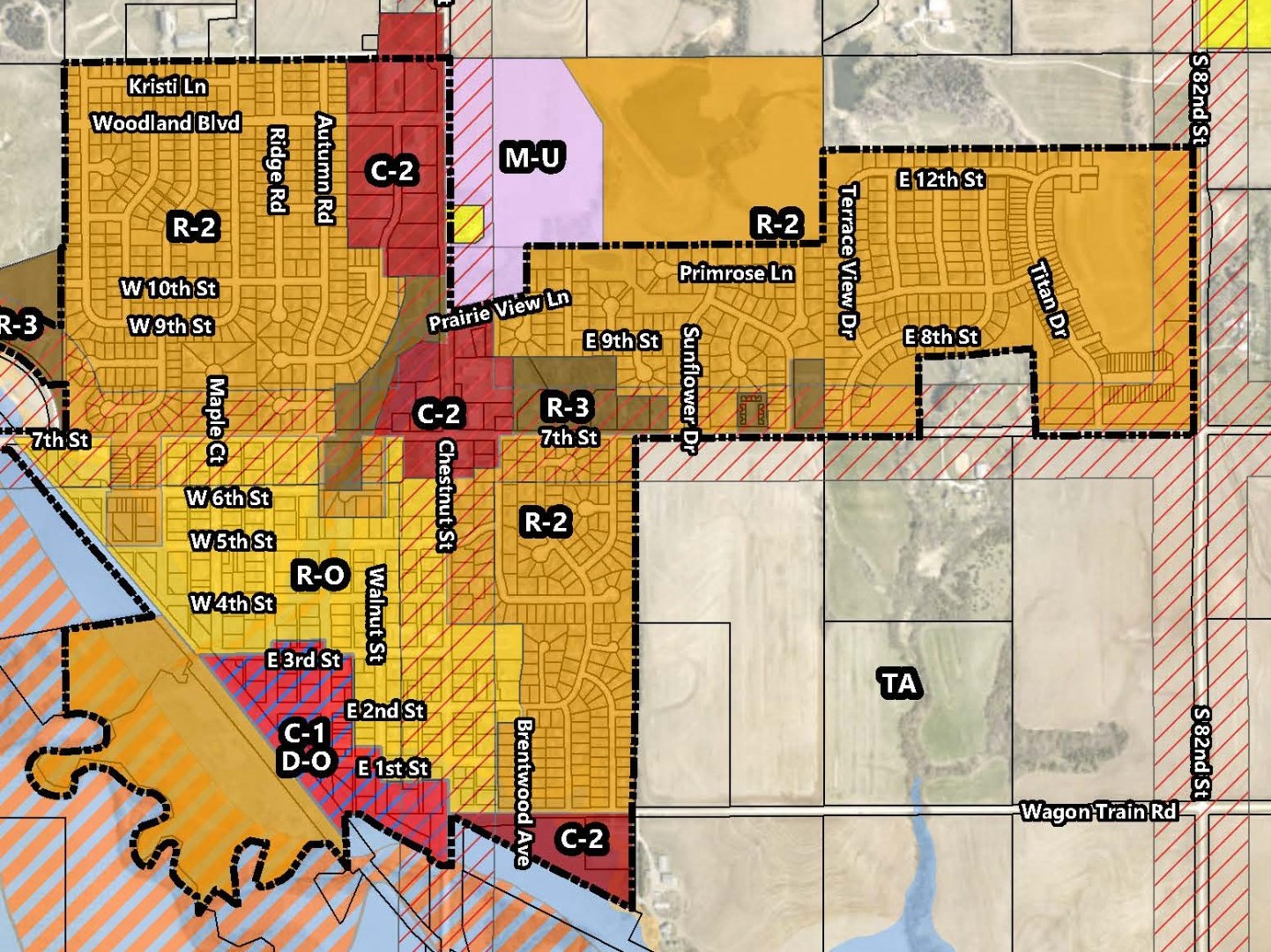
Official Zoning Map
Future Land Use Map
Floodplain Map
Zoning Regulations
Subdivision Regulations
Corridor Overlay District
|
Frequently Asked Questions:
1. How do I find the zoning of my property?
- You can find the zoning of your property by calling or visiting the City Office. City Staff can look up the zoning of your property with your address.
- Review the City's Official Zoning Map
2. What are the allowed land uses and definitions associated with my property's zoning district?
- All permitted uses, conditional uses, and temporary uses can be found in the City's Zoning Regulations.
3. What are the building setbacks on my property?
- The building line setback is the minimum distance as prescribed by the City's Zoning Regulations between any property line and the closed point of the building line or face of any building or structure. Building setbacks will vary by zoning district as well as other potential variables. Setbacks for each individual zoning district can be found in the City's Zoning Regulations.
4, What is the City's Corridor Overlay District?
- The City of Hickman has established basic site and building development criteria to be implemented within the boundaries of this overlay district. The Corridor Overlay District has been established in order to implement the policies and guidelines developed by the City of Hickman. These criteria include but are not limited to the following: landscaping, building material selection, lighting, and road development. The purpose for regulating these items is to provide for a cohesive and properly developed corridor along existing and future arterial streets. Guiding development in this manner promotes the general health, safety, and welfare of the residents within the zoning jurisdiction of Hickman by providing quality design and construction, which also aids in the protection of past and future investment in the corridors. The regulations in the overlay district are in addition to those of the underlying base zoning district for the property and affect all new or expanded (20 percent or more of original footprint) public, commercial, industrial, multi-family residential, residential subdivisions, and mixed-use buildings and properties. Where regulations are in direct conflict with other regulations in this Ordinance, the stricter shall apply. For questions as to whether or not your property is located within the Corridor Overlay District, please contact the City Office.
5. What is the 100-year floodplain? Is my property in the floodplain? What does this mean to me?
- The floodplain is considered to be the land adjacent to bodies of water that is covered by the "100-year" flood. This flood is considered to be a flood that has a 1% chance of occurring in any given year. If your property exists within the floodplain you may want to consider the building restrictions within the floodplain, flood proofing your property, and flood insurance.
- The floodplain is not to be confused with the floodway. The floodway is the land immediately adjacent to a body of water that is the natural conduit for flood waters. The floodway must remain open to allow for floodwaters to pass. Building within the floodway is highly restrictive.
- To see if your property is located in the floodplain, floodway, or both, please contact the City Office. You can also view online the City's Floodplain Map as well as visit the FEMA Floodplain Map Service Center.
|
| |
|